Fail:United Kingdom Northern Ireland adm location map.svg

Fail sandad (Pail SVG, tipong tuou 1,208 × 1,026 piksol, ginayo pail: 163 KB)
Koinibaan
| pongowowoyoon |
Deutsch: Positionskarte von Nordirland, Vereinigtes Königreich
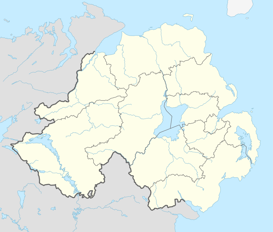
English: Location map of Northern Ireland, United Kingdom
|
||||||||||||
| Tadau Wulan | |||||||||||||
| kowonuan |
Own work using:
|
||||||||||||
| Sanganu | NordNordWest | ||||||||||||

|
This map has been made or improved in the German Kartenwerkstatt (Map Lab). You can propose maps to improve as well.
|
Pongolisinan
Usage of this file with:

explanatory notes: Legally binding is only the full legalcode. For a free usage I recommend to respect the following licence conditions:
1. Provide my name as given above: NordNordWest,
2. a copy of, or the URI for, the applicable license: https://creativecommons.org/licenses/by-sa/3.0/de/legalcode,
3. the title of the work,
4. in the case of an adaptation, a credit identifying the use of the work in the adaptation.
This license and the rights granted hereunder will terminate automatically upon any breach by you of the terms of this license. Any of the above conditions can be waived if you get permission from the copyright holder. If you have questions or wish differing conditions, please contact me through nnwest or my discussion page ![]() t-online.de
t-online.de
- Obibas ko:
- montok popoilang – montok mamadalin, popotikid om popoundaliu asil karaja
- montok popilongot – montok poposudong do kalaja
- Id siriba do syarat dilo:
- Pongokunan – Nuru ko do mongounsikou, manahak popioput kumaa lisin, om popokito sokiro haro kosimbanon di winonsoi. Milo ko do popowonsoi nunu nopo laang ii kosudong, nga' okon ko' id suang do nunu-nunu nopo laang di poposogu do minanahak lesen do monokodung diya toi ko' pomogunoon nu.
- poilango kopiagal – Sokiro nopo monimban, popirolot toi ko' momoruhang ko do kakamot, minog do pasarabakon o sakadai nu id siriba lesen same or compatible license miagal di intodon.

Sajara fail
Todoso id kalindo / maso do mongintong di upa dilo fail ontok di timpu nokomoi.
| Tadauwulan/Maso | Sinondulu | Ginayo | Moomomoguno | Komi | |
|---|---|---|---|---|---|
| timpu diti | 17:06, 7 Gumas 2015 | | 1,208 × 1,026 (163 KB) | NordNordWest | c |
| 20:24, 6 Gumas 2015 |  | 1,208 × 1,026 (162 KB) | NordNordWest | final version | |
| 18:37, 6 Gumas 2015 |  | 1,208 × 1,026 (113 KB) | NordNordWest | == {{int:filedesc}} == {{Information |Description= {{de|1=Positionskarte von Nordirland, Vereinigtes Königreich}} {{en|1=Location map of Northern Ireland, United Kingdom}} {{Location map series N |stretching=170 |top=55.4 |bottom=53.9 |left=-8.3 |righ... |
Pomogunaan do fail
Iti kiharo 4 bobolikon poingoput id pail diti:
Pomogunaan fail sompomogunan
Fail diti ginuna do wiki suai:
- Kopomogunaan id af.wikipedia.org
- Kopomogunaan id bh.wikipedia.org
- Kopomogunaan id bn.wikipedia.org
- Kopomogunaan id br.wikipedia.org
- Kopomogunaan id ca.wikipedia.org
- Kopomogunaan id de.wikipedia.org
Intangai lobi momomoguno sompomogunan do pail diti